The Bay Area map
101 cities + 8 unincorporated areas, each one its own shape you can click. A conic projection centered on the Bay Area, so the cities keep their shapes instead of leaning the way they do on a world map.
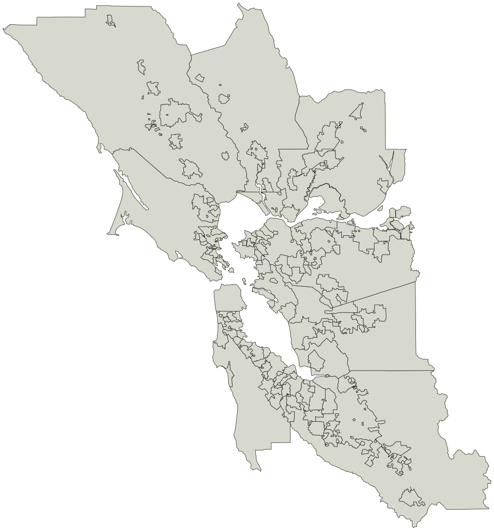
Every city on the Bay Area map
Jurisdiction boundaries from the Metropolitan Transportation Commission. Credit the Metropolitan Transportation Commission if you reuse the outline.
Alameda County 15
- Alameda
- Albany
- Berkeley
- Dublin
- Emeryville
- Fremont
- Hayward
- Livermore
- Newark
- Oakland
- Piedmont
- Pleasanton
- San Leandro
- Unincorporated Alameda County
- Union City
Contra Costa County 20
- Antioch
- Brentwood
- Clayton
- Concord
- Danville
- El Cerrito
- Hercules
- Lafayette
- Martinez
- Moraga
- Oakley
- Orinda
- Pinole
- Pittsburg
- Pleasant Hill
- Richmond
- San Pablo
- San Ramon
- Unincorporated Contra Costa County
- Walnut Creek
Marin County 12
- Belvedere
- Corte Madera
- Fairfax
- Larkspur
- Mill Valley
- Novato
- Ross
- San Anselmo
- San Rafael
- Sausalito
- Tiburon
- Unincorporated Marin County
Napa County 6
- American Canyon
- Calistoga
- Napa
- Saint Helena
- Unincorporated Napa County
- Yountville
San Francisco County 1
- San Francisco
San Mateo County 21
- Atherton
- Belmont
- Brisbane
- Burlingame
- Colma
- Daly City
- East Palo Alto
- Foster City
- Half Moon Bay
- Hillsborough
- Menlo Park
- Millbrae
- Pacifica
- Portola Valley
- Redwood City
- San Bruno
- San Carlos
- San Mateo
- South San Francisco
- Unincorporated San Mateo County
- Woodside
Santa Clara County 16
- Campbell
- Cupertino
- Gilroy
- Los Altos
- Los Altos Hills
- Los Gatos
- Milpitas
- Monte Sereno
- Morgan Hill
- Mountain View
- Palo Alto
- San Jose
- Santa Clara
- Saratoga
- Sunnyvale
- Unincorporated Santa Clara County
Solano County 8
- Benicia
- Dixon
- Fairfield
- Rio Vista
- Suisun City
- Unincorporated Solano County
- Vacaville
- Vallejo
Sonoma County 10
- Cloverdale
- Cotati
- Healdsburg
- Petaluma
- Rohnert Park
- Santa Rosa
- Sebastopol
- Sonoma
- Unincorporated Sonoma County
- Windsor