Blank map of the Bay Area

All 101 cities + 8 unincorporated areas, unlabeled and unfilled. The SVG prints at any size without going fuzzy and opens in any editor. It comes out taller than it is wide, so it prints upright.
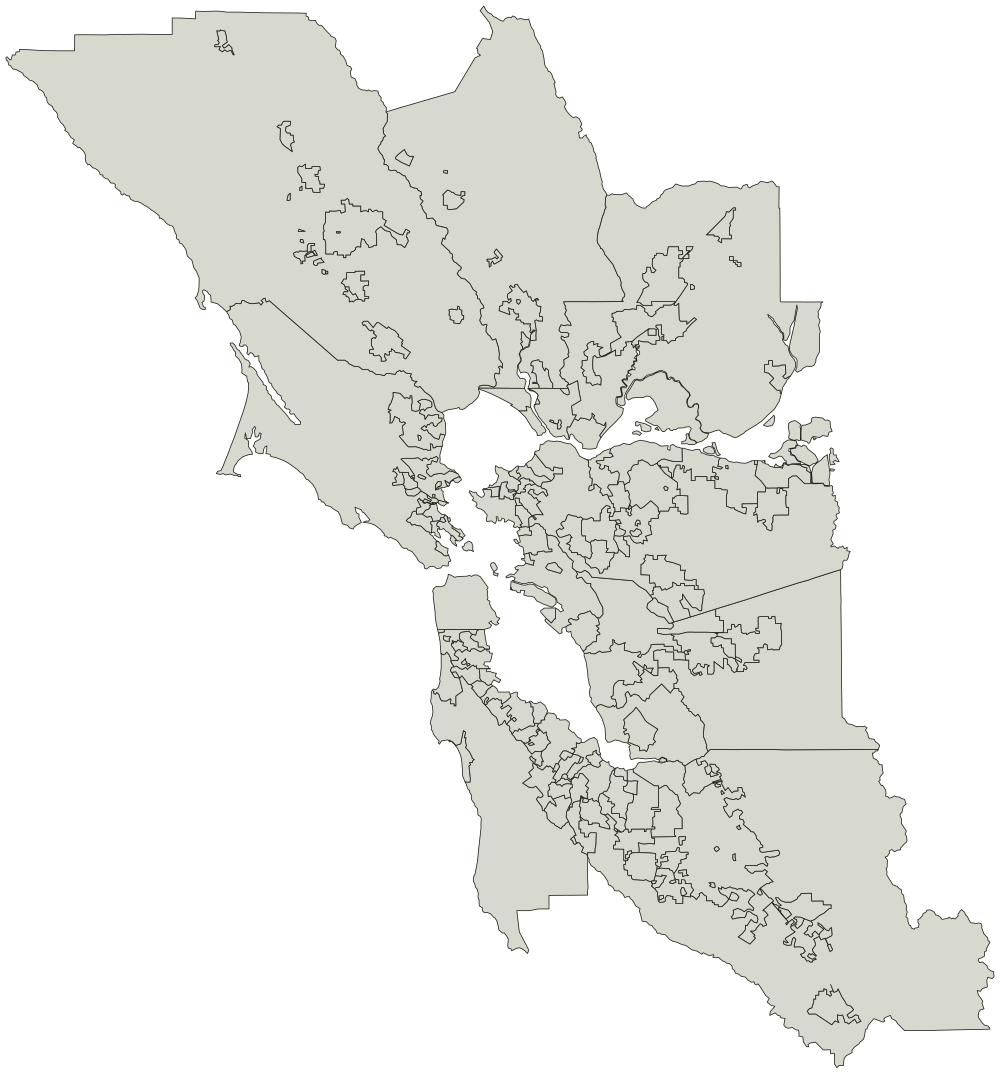
Jurisdiction boundaries from the Metropolitan Transportation Commission. Credit the Metropolitan Transportation Commission if you reuse the outline.
AlamedaAlbanyAmerican CanyonAntiochAthertonBelmontBelvedereBeniciaBerkeleyBrentwoodBrisbaneBurlingameCalistogaCampbellClaytonCloverdaleColmaConcordCorte MaderaCotatiCupertinoDaly CityDanvilleDixonDublinEast Palo AltoEl CerritoEmeryvilleFairfaxFairfieldFoster CityFremontGilroyHalf Moon BayHaywardHealdsburgHerculesHillsboroughLafayetteLarkspurLivermoreLos AltosLos Altos HillsLos GatosMartinezMenlo ParkMill ValleyMillbraeMilpitasMonte SerenoMoragaMorgan HillMountain ViewNapaNewarkNovatoOaklandOakleyOrindaPacificaPalo AltoPetalumaPiedmontPinolePittsburgPleasant HillPleasantonPortola ValleyRedwood CityRichmondRio VistaRohnert ParkRossSaint HelenaSan AnselmoSan BrunoSan CarlosSan FranciscoSan JoseSan LeandroSan MateoSan PabloSan RafaelSan RamonSanta ClaraSanta RosaSaratogaSausalitoSebastopolSonomaSouth San FranciscoSuisun CitySunnyvaleTiburonUnincorporated Alameda CountyUnincorporated Contra Costa CountyUnincorporated Marin CountyUnincorporated Napa CountyUnincorporated San Mateo CountyUnincorporated Santa Clara CountyUnincorporated Solano CountyUnincorporated Sonoma CountyUnion CityVacavilleVallejoWalnut CreekWindsorWoodsideYountville

What you are printing

A conic projection centered on the Bay Area, so the cities keep their shapes instead of leaning the way they do on a world map.

Every city is a separate shape, so a vector editor can select and fill one without touching the ones around it. Names are in the file as titles rather than as drawn text, which is what keeps the printed sheet blank.

Every city on it

The map page lists all 101 cities + 8 unincorporated areas by name, and colors them in the browser if you would rather not print anything.