United States Electoral College map
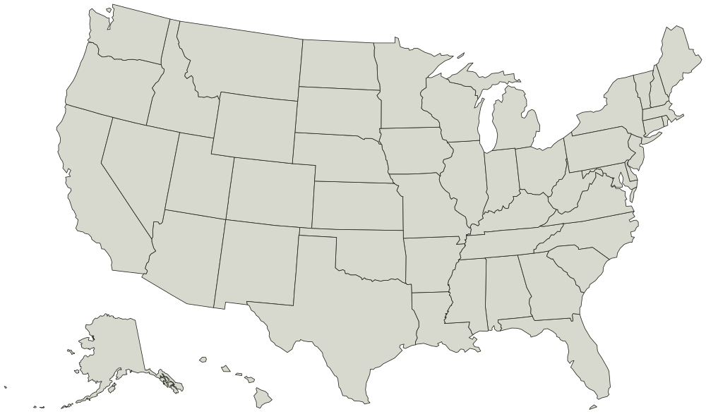
50 states + DC, each one its own shape you can click. Alaska and Hawaii are moved in below the mainland to fit on one sheet, and Alaska is drawn at about a third of its real size. Everywhere else on this map sits where it is.
Color the United States Electoral College map
Give each state a color. What the colors mean is up to you.
Tap a state, then pick an answer.
'%20patternUnits='userSpaceOnUse'%3e%3crect%20width='6'%20height='6'%20fill='%23EFF2E8'%3e%3c/rect%3e%3cline%20x1='0'%20y1='0'%20x2='0'%20y2='6'%20stroke='%2355683C'%20stroke-width='1.4'%3e%3c/line%3e%3c/pattern%3e%3c/defs%3e%3cpath%20d='M32%204C18.7%204%208%2014.7%208%2028c0%2016.5%2024%2044%2024%2044s24-27.5%2024-44C56%2014.7%2045.3%204%2032%204z'%20fill='url(%23hatch)'%20stroke='%233A4A28'%20stroke-width='3'%20stroke-linejoin='round'%3e%3c/path%3e%3ccircle%20cx='32'%20cy='27'%20r='9'%20fill='%23FAFAF5'%20stroke='%233A4A28'%20stroke-width='3'%3e%3c/circle%3e%3ccircle%20cx='32'%20cy='27'%20r='3.5'%20fill='%23B85C38'%3e%3c/circle%3e%3c/svg%3e) whereidlive.com
whereidlive.comColor legend
0 of 50 states + DC rated
Rate at least one state to share your map, save an image, or compare with a friend.
- Mid-Atlantic
- Midwest
- Mountain West
- New England
- Pacific
- South
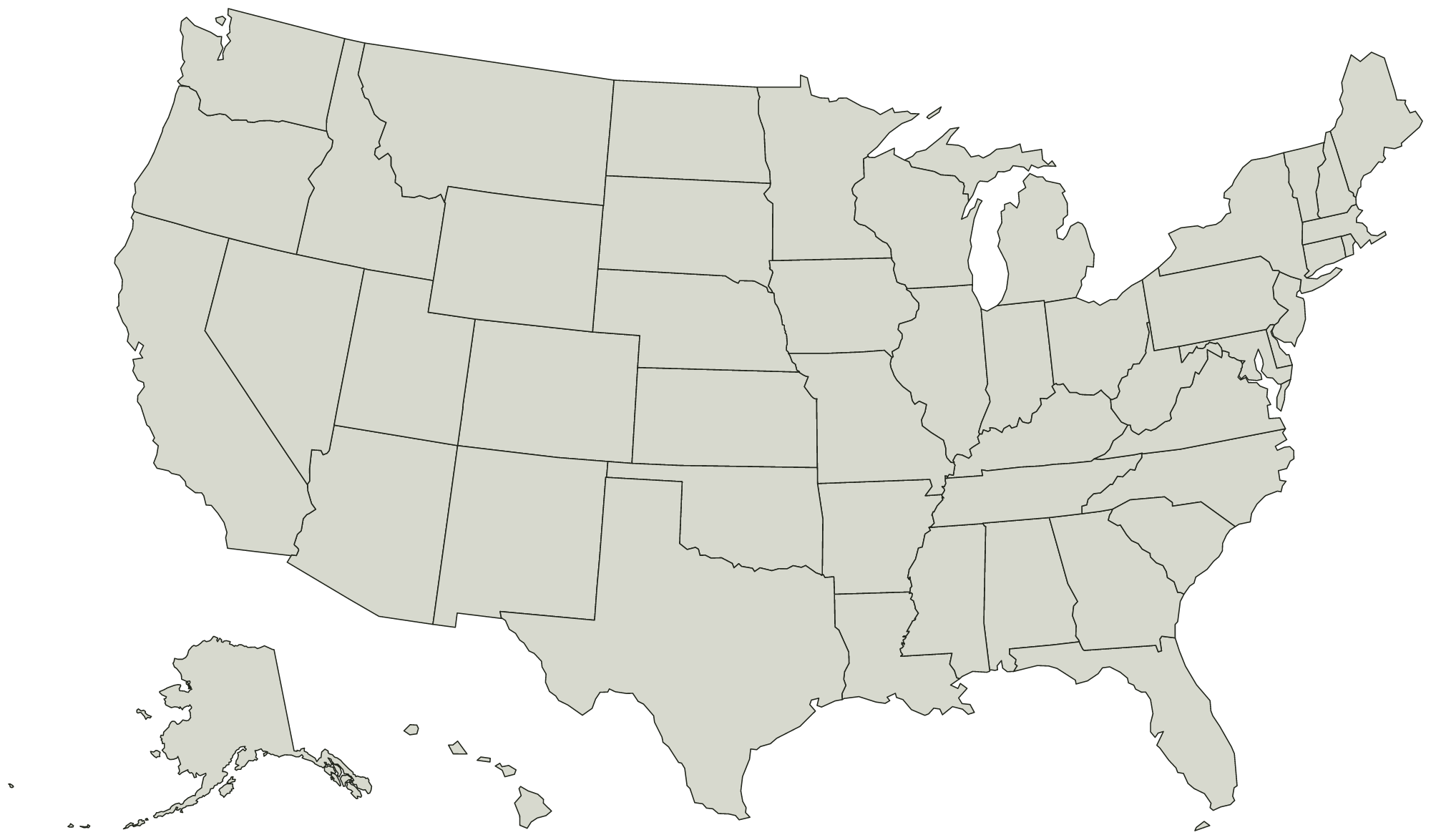
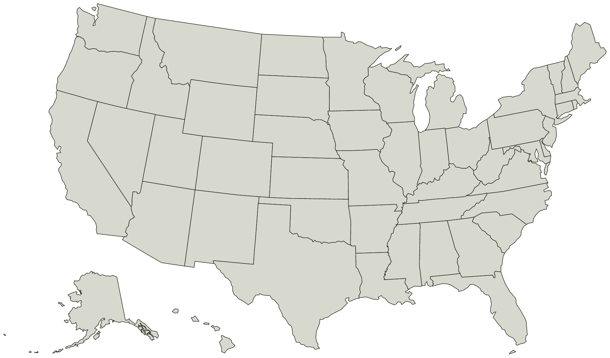
Every state on the United States Electoral College map
State boundaries from the US Census Bureau, public domain. You can use the outline for anything, including work you sell.
Mid-Atlantic 3
- New Jersey
- New York
- Pennsylvania
Midwest 12
- Iowa
- Illinois
- Indiana
- Kansas
- Michigan
- Minnesota
- Missouri
- North Dakota
- Nebraska
- Ohio
- South Dakota
- Wisconsin
Mountain West 8
- Arizona
- Colorado
- Idaho
- Montana
- New Mexico
- Nevada
- Utah
- Wyoming
New England 6
- Connecticut
- Massachusetts
- Maine
- New Hampshire
- Rhode Island
- Vermont
Pacific 5
- Alaska
- California
- Hawaii
- Oregon
- Washington
South 17
- Alabama
- Arkansas
- District of Columbia
- Delaware
- Florida
- Georgia
- Kentucky
- Louisiana
- Maryland
- Mississippi
- North Carolina
- Oklahoma
- South Carolina
- Tennessee
- Texas
- Virginia
- West Virginia