San Francisco map
41 neighborhoods, each one its own shape you can click. A conic projection centered on San Francisco, so the neighborhoods keep their shapes instead of leaning the way they do on a world map.
Color the San Francisco map
Give each neighborhood a color. What the colors mean is up to you.
'%20patternUnits='userSpaceOnUse'%3e%3crect%20width='6'%20height='6'%20fill='%23EFF2E8'%3e%3c/rect%3e%3cline%20x1='0'%20y1='0'%20x2='0'%20y2='6'%20stroke='%2355683C'%20stroke-width='1.4'%3e%3c/line%3e%3c/pattern%3e%3c/defs%3e%3cpath%20d='M32%204C18.7%204%208%2014.7%208%2028c0%2016.5%2024%2044%2024%2044s24-27.5%2024-44C56%2014.7%2045.3%204%2032%204z'%20fill='url(%23hatch)'%20stroke='%233A4A28'%20stroke-width='3'%20stroke-linejoin='round'%3e%3c/path%3e%3ccircle%20cx='32'%20cy='27'%20r='9'%20fill='%23FAFAF5'%20stroke='%233A4A28'%20stroke-width='3'%3e%3c/circle%3e%3ccircle%20cx='32'%20cy='27'%20r='3.5'%20fill='%23B85C38'%3e%3c/circle%3e%3c/svg%3e) whereidlive.com
whereidlive.comColor legend
Tap a region to rate it, or pick a step above to paint with it.
0 of 41 neighborhoods rated
Rate at least one neighborhood to share your map, download an image, or challenge someone.
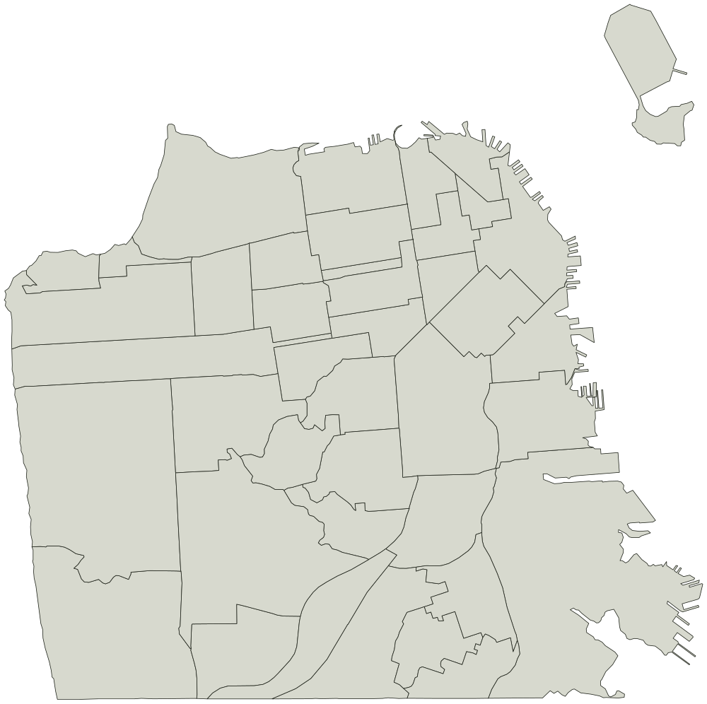
Every neighborhood on the San Francisco map
Neighborhood boundaries from DataSF, dedicated to the public domain under ODC PDDL. You can use the outline for anything, including work you sell.
41
- Bayview Hunters Point
- Bernal Heights
- Castro/Upper Market
- Chinatown
- Excelsior
- Financial District/South Beach
- Glen Park
- Golden Gate Park
- Haight Ashbury
- Hayes Valley
- Inner Richmond
- Inner Sunset
- Japantown
- Lakeshore
- Lincoln Park
- Lone Mountain/USF
- Marina
- McLaren Park
- Mission
- Mission Bay
- Nob Hill
- Noe Valley
- North Beach
- Oceanview/Merced/Ingleside
- Outer Mission
- Outer Richmond
- Pacific Heights
- Portola
- Potrero Hill
- Presidio
- Presidio Heights
- Russian Hill
- Seacliff
- South of Market
- Sunset/Parkside
- Tenderloin
- Treasure Island
- Twin Peaks
- Visitacion Valley
- West of Twin Peaks
- Western Addition