Oceania map
24 countries, most of them too small to click, so you answer them by name. Equal Earth, so areas are true and Greenland comes out about the size of Algeria rather than the size of Africa.
Color the Oceania map
Give each country a color. What the colors mean is up to you.
'%20patternUnits='userSpaceOnUse'%3e%3crect%20width='6'%20height='6'%20fill='%23EFF2E8'%3e%3c/rect%3e%3cline%20x1='0'%20y1='0'%20x2='0'%20y2='6'%20stroke='%2355683C'%20stroke-width='1.4'%3e%3c/line%3e%3c/pattern%3e%3c/defs%3e%3cpath%20d='M32%204C18.7%204%208%2014.7%208%2028c0%2016.5%2024%2044%2024%2044s24-27.5%2024-44C56%2014.7%2045.3%204%2032%204z'%20fill='url(%23hatch)'%20stroke='%233A4A28'%20stroke-width='3'%20stroke-linejoin='round'%3e%3c/path%3e%3ccircle%20cx='32'%20cy='27'%20r='9'%20fill='%23FAFAF5'%20stroke='%233A4A28'%20stroke-width='3'%3e%3c/circle%3e%3ccircle%20cx='32'%20cy='27'%20r='3.5'%20fill='%23B85C38'%3e%3c/circle%3e%3c/svg%3e) whereidlive.com
whereidlive.comColor legend
Tap a region to rate it, or pick a step above to paint with it.
Most of these countries are a pixel or two wide next to Australia, so this map is answered by name. The map still colors in as you go.
0 of 24 countries rated
Rate at least one country to share your map, download an image, or challenge someone.
- Australia and New Zealand
- Melanesia
- Micronesia
- Polynesia
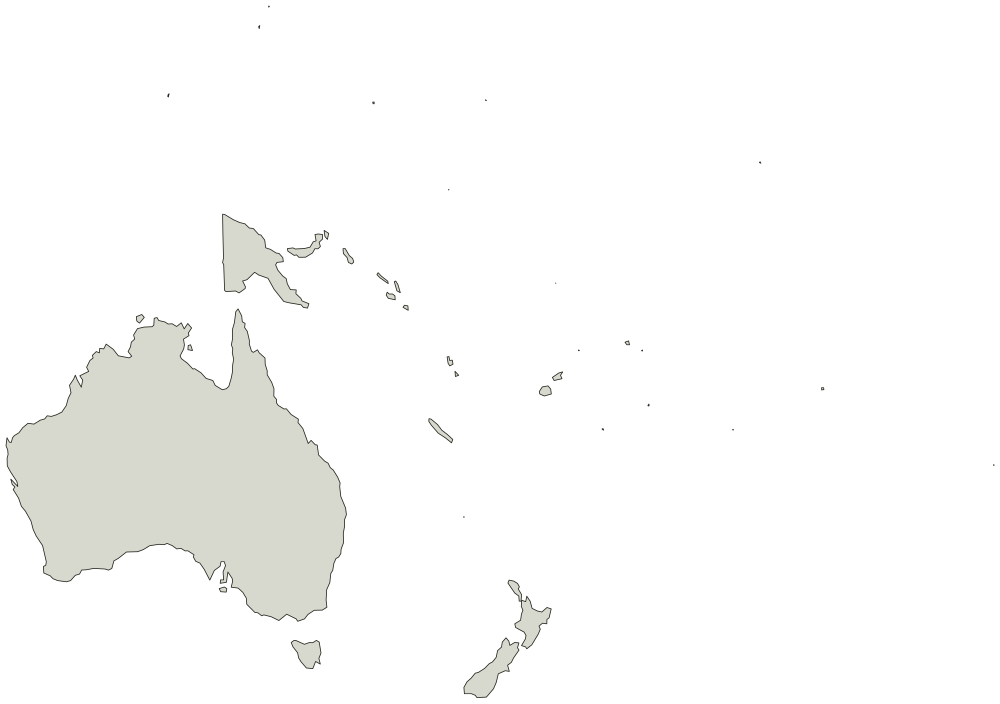
Every country on the Oceania map
Boundaries from Natural Earth, public domain. You can use the outline for anything, including work you sell.
Australia and New Zealand 3
- Australia
- Norfolk Island
- New Zealand
Melanesia 5
- Fiji
- New Caledonia
- Papua New Guinea
- Solomon Is.
- Vanuatu
Micronesia 7
- Micronesia
- Guam
- Kiribati
- Marshall Is.
- N. Mariana Is.
- Nauru
- Palau
Polynesia 9
- American Samoa
- Cook Is.
- Niue
- Pitcairn Is.
- Fr. Polynesia
- Tonga
- Tuvalu
- Wallis and Futuna Is.
- Samoa