The Netherlands map
12 provinces, each one its own shape you can click. A conic projection centered on the Netherlands, so the provinces keep their shapes instead of leaning the way they do on a world map.
Color the Netherlands map
Give each province a color. What the colors mean is up to you.
'%20patternUnits='userSpaceOnUse'%3e%3crect%20width='6'%20height='6'%20fill='%23EFF2E8'%3e%3c/rect%3e%3cline%20x1='0'%20y1='0'%20x2='0'%20y2='6'%20stroke='%2355683C'%20stroke-width='1.4'%3e%3c/line%3e%3c/pattern%3e%3c/defs%3e%3cpath%20d='M32%204C18.7%204%208%2014.7%208%2028c0%2016.5%2024%2044%2024%2044s24-27.5%2024-44C56%2014.7%2045.3%204%2032%204z'%20fill='url(%23hatch)'%20stroke='%233A4A28'%20stroke-width='3'%20stroke-linejoin='round'%3e%3c/path%3e%3ccircle%20cx='32'%20cy='27'%20r='9'%20fill='%23FAFAF5'%20stroke='%233A4A28'%20stroke-width='3'%3e%3c/circle%3e%3ccircle%20cx='32'%20cy='27'%20r='3.5'%20fill='%23B85C38'%3e%3c/circle%3e%3c/svg%3e) whereidlive.com
whereidlive.comColor legend
Tap a region to rate it, or pick a step above to paint with it.
0 of 12 provinces rated
Rate at least one province to share your map, download an image, or challenge someone.
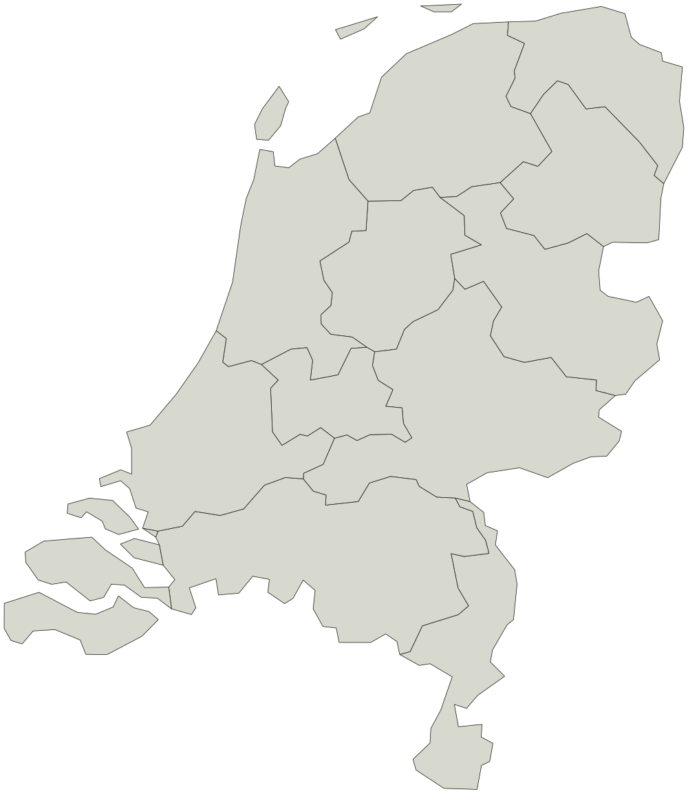
Every province on the Netherlands map
Boundaries from Natural Earth, public domain. You can use the outline for anything, including work you sell.
12
- Drenthe
- Flevoland
- Friesland
- Gelderland
- Groningen
- Limburg
- Noord-Brabant
- Noord-Holland
- Overijssel
- Utrecht
- Zeeland
- Zuid-Holland