India map
36 states, each one its own shape you can click. A conic projection centered on India, so the states keep their shapes instead of leaning the way they do on a world map.
Color the India map
Give each state a color. What the colors mean is up to you.
'%20patternUnits='userSpaceOnUse'%3e%3crect%20width='6'%20height='6'%20fill='%23EFF2E8'%3e%3c/rect%3e%3cline%20x1='0'%20y1='0'%20x2='0'%20y2='6'%20stroke='%2355683C'%20stroke-width='1.4'%3e%3c/line%3e%3c/pattern%3e%3c/defs%3e%3cpath%20d='M32%204C18.7%204%208%2014.7%208%2028c0%2016.5%2024%2044%2024%2044s24-27.5%2024-44C56%2014.7%2045.3%204%2032%204z'%20fill='url(%23hatch)'%20stroke='%233A4A28'%20stroke-width='3'%20stroke-linejoin='round'%3e%3c/path%3e%3ccircle%20cx='32'%20cy='27'%20r='9'%20fill='%23FAFAF5'%20stroke='%233A4A28'%20stroke-width='3'%3e%3c/circle%3e%3ccircle%20cx='32'%20cy='27'%20r='3.5'%20fill='%23B85C38'%3e%3c/circle%3e%3c/svg%3e) whereidlive.com
whereidlive.comColor legend
Tap a region to rate it, or pick a step above to paint with it.
0 of 36 states rated
Rate at least one state to share your map, download an image, or challenge someone.
- Central
- East
- North
- Northeast
- South
- West
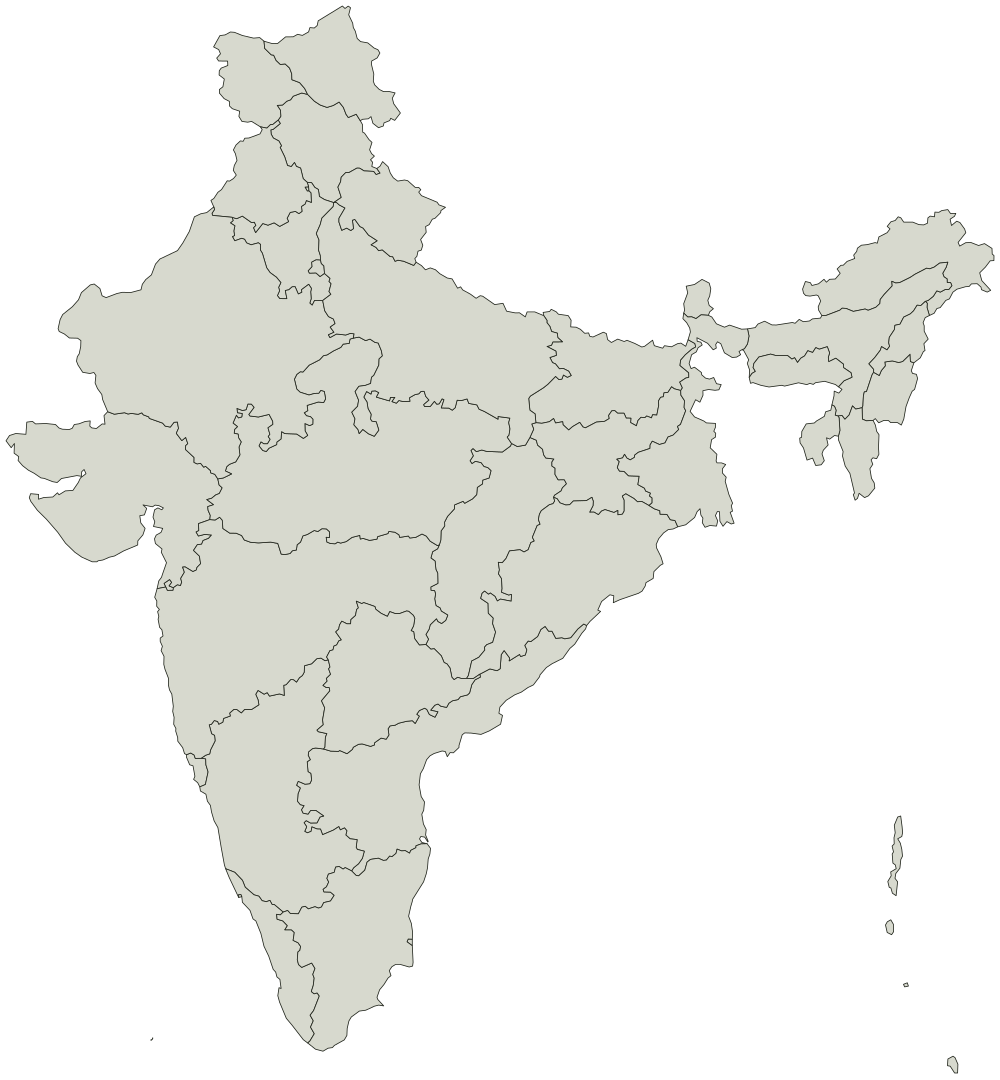
Every state on the India map
Boundaries from Natural Earth, public domain. You can use the outline for anything, including work you sell.
2
- Andaman and Nicobar
- Ladakh
Central 7
- Chhattisgarh
- Delhi
- Haryana
- Madhya Pradesh
- Rajasthan
- Uttar Pradesh
- Uttarakhand
East 5
- Bihar
- Jharkhand
- Odisha
- Sikkim
- West Bengal
North 4
- Chandigarh
- Himachal Pradesh
- Jammu and Kashmir
- Punjab
Northeast 7
- Arunachal Pradesh
- Assam
- Meghalaya
- Manipur
- Mizoram
- Nagaland
- Tripura
South 7
- Andhra Pradesh
- Karnataka
- Kerala
- Lakshadweep
- Puducherry
- Telangana
- Tamil Nadu
West 4
- Dadra and Nagar Haveli and Daman and Diu
- Goa
- Gujarat
- Maharashtra