The Americas map
51 countries, each one its own shape you can click. Equal Earth, so areas are true and Greenland comes out about the size of Algeria rather than the size of Africa.
Color the Americas map
Give each country a color. What the colors mean is up to you.
'%20patternUnits='userSpaceOnUse'%3e%3crect%20width='6'%20height='6'%20fill='%23EFF2E8'%3e%3c/rect%3e%3cline%20x1='0'%20y1='0'%20x2='0'%20y2='6'%20stroke='%2355683C'%20stroke-width='1.4'%3e%3c/line%3e%3c/pattern%3e%3c/defs%3e%3cpath%20d='M32%204C18.7%204%208%2014.7%208%2028c0%2016.5%2024%2044%2024%2044s24-27.5%2024-44C56%2014.7%2045.3%204%2032%204z'%20fill='url(%23hatch)'%20stroke='%233A4A28'%20stroke-width='3'%20stroke-linejoin='round'%3e%3c/path%3e%3ccircle%20cx='32'%20cy='27'%20r='9'%20fill='%23FAFAF5'%20stroke='%233A4A28'%20stroke-width='3'%3e%3c/circle%3e%3ccircle%20cx='32'%20cy='27'%20r='3.5'%20fill='%23B85C38'%3e%3c/circle%3e%3c/svg%3e) whereidlive.com
whereidlive.comColor legend
Tap a region to rate it, or pick a step above to paint with it.
0 of 51 countries rated
Rate at least one country to share your map, download an image, or challenge someone.
- Caribbean
- Central America
- Northern America
- South America
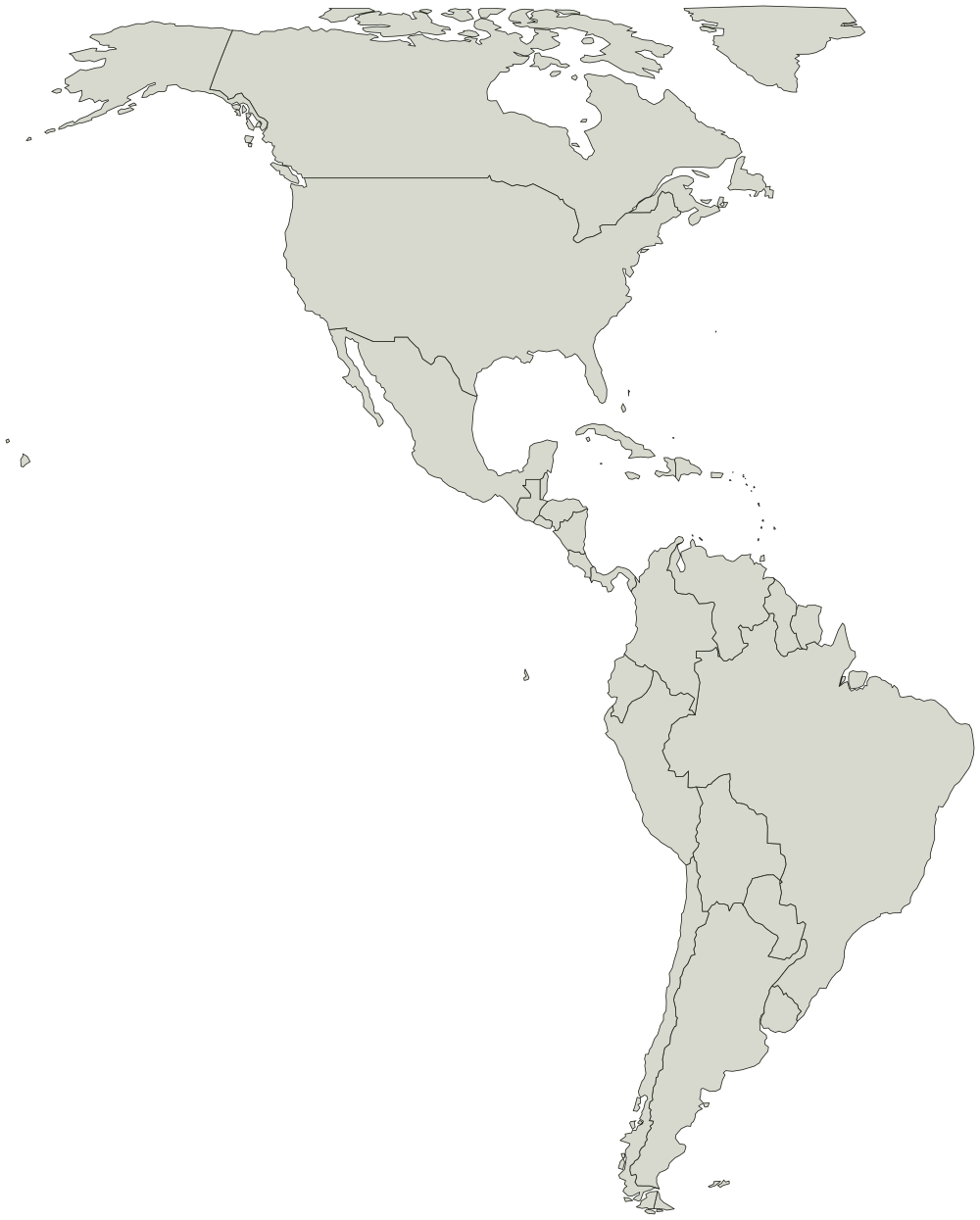
Every country on the Americas map
Boundaries from Natural Earth, public domain. You can use the outline for anything, including work you sell.
Caribbean 25
- Aruba
- Anguilla
- Antigua and Barb.
- Bahamas
- St-Barthélemy
- Barbados
- Cuba
- Curaçao
- Cayman Is.
- Dominica
- Dominican Rep.
- Grenada
- Haiti
- Jamaica
- St. Kitts and Nevis
- Saint Lucia
- St-Martin
- Montserrat
- Puerto Rico
- Sint Maarten
- Turks and Caicos Is.
- Trinidad and Tobago
- St. Vin. and Gren.
- British Virgin Is.
- U.S. Virgin Is.
Central America 8
- Belize
- Costa Rica
- Guatemala
- Honduras
- Mexico
- Nicaragua
- Panama
- El Salvador
Northern America 5
- Bermuda
- Canada
- Greenland
- St. Pierre and Miquelon
- United States of America
South America 13
- Argentina
- Bolivia
- Brazil
- Chile
- Colombia
- Ecuador
- Falkland Is.
- Guyana
- Peru
- Paraguay
- Suriname
- Uruguay
- Venezuela