Blank map of Major world cities

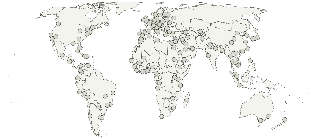
All 150 cities, unlabeled and unfilled. The SVG prints at any size without going fuzzy and opens in any editor. It comes out wider than it is tall, so it prints sideways.
Boundaries from Natural Earth, public domain. You can use the locations for anything, including work you sell.
AbidjanAbujaAccraAddis AbabaAgraAlexandriaAlgiersAmsterdamAnkaraAntananarivoAsunciónAthensAtlantaAucklandBaghdadBakuBamakoBangkokBarcelonaBeijingBeirutBerlinBogotáBrasíliaBrusselsBucharestBudapestBuenos AiresCairoCape TownCaracasCartagenaCasablancaChengduChiang MaiChicagoConakryCuscoDakarDamascusDar es SalaamDhakaDubaiDublinEdinburghFlorenceFrankfurtGenevaGuangzhouHamburgHanoiHarareHavanaHelsinkiHiroshimaHo Chi Minh CityHong KongIstanbulJaipurJakartaJerusalemJohannesburgCopenhagenKabulKampalaKhartoumKinshasaKuala LumpurKuwait CityKyivKyotoLa PazLagosLas VegasLimaLisbonLoméLondonLos AngelesLuandaLuxorMadridMeccaManchesterManilaMaputoMarrakeshMedellínMelbourneMexico CityMiamiMilanMinskMonroviaMontevideoMontrealMoscowMumbaiMunichNairobiNaplesNew DelhiNew OrleansNew York CityOsakaOsloParisPhiladelphiaPhnom PenhPort-au-PrincePraguePyongyangQuitoRabatRio de JaneiroRiyadhRomeSalvadorSan FranciscoSan SalvadorSanaaSantiagoSanto DomingoSão PauloSeoulSevilleShanghaiSiem ReapSingaporeSt. PetersburgStockholmSydneyTaipeiTashkentTehranTimbuktuTokyoTorontoTripoliVancouverVaranasiVatican CityVeniceViennaWarsawWashington, D.C.Xi'anYaoundéZanzibar CityZürich

What you are printing

Equal Earth, so areas are true and Greenland comes out about the size of Algeria rather than the size of Africa.

Every city is a separate point, so a vector editor can select and fill one without touching the ones around it. Names are in the file as titles rather than as drawn text, which is what keeps the printed sheet blank.

Every city on it

The map page lists all 150 cities by name, and colors them in the browser if you would rather not print anything.