Blank map of the world
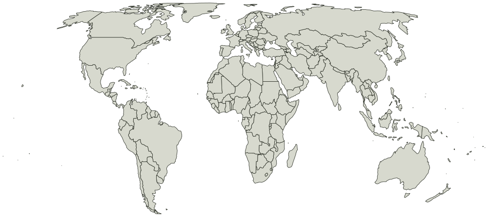
All 233 countries, unlabeled and unfilled. The SVG prints at any size without going fuzzy and opens in any editor. It comes out wider than it is tall, so it prints sideways.
What you are printing
Equal Earth, so areas are true and Greenland comes out about the size of Algeria rather than the size of Africa.
Every country is a separate shape, so a vector editor can select and fill one without touching the ones around it. Names are in the file as titles rather than as drawn text, which is what keeps the printed sheet blank.
Every country on it
The map page lists all 233 countries by name, and colors them in the browser if you would rather not print anything.