Blank map of US national parks

All 63 national parks, unlabeled and unfilled. The SVG prints at any size without going fuzzy and opens in any editor. It comes out wider than it is tall, so it prints sideways.
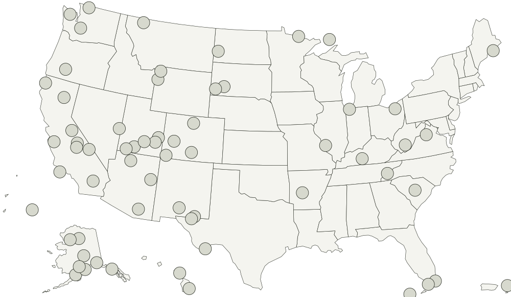
Park locations from the National Park Service, public domain. You can use the locations for anything, including work you sell.
Acadia National ParkArches National ParkBadlands National ParkBig Bend National ParkBiscayne National ParkBlack Canyon of the Gunnison National ParkBryce Canyon National ParkCanyonlands National ParkCapitol Reef National ParkCarlsbad Caverns National ParkChannel Islands National ParkCongaree National ParkCrater Lake National ParkCuyahoga Valley National ParkDenali National ParkDeath Valley National ParkDry Tortugas National ParkEverglades National ParkGates of the Arctic National ParkGlacier National ParkGlacier Bay National ParkGreat Basin National ParkGrand Canyon National ParkGreat Sand Dunes National ParkGreat Smoky Mountains National ParkGrand Teton National ParkGuadalupe Mountains National ParkHaleakalā National ParkHawai'i Volcanoes National ParkHot Springs National ParkIndiana Dunes National ParkIsle Royale National ParkGateway Arch National ParkJoshua Tree National ParkKatmai National ParkKenai Fjords National ParkKings Canyon National ParkKobuk Valley National ParkLake Clark National ParkLassen Volcanic National ParkMammoth Cave National ParkMesa Verde National ParkMount Rainier National ParkNew River Gorge National Park and PreserveNorth Cascades National ParkNational Park of American SamoaOlympic National ParkPetrified Forest National ParkPinnacles National ParkRedwood National ParkRocky Mountain National ParkSaguaro National ParkSequoia National ParkShenandoah National ParkTheodore Roosevelt National ParkVirgin Islands National ParkVoyageurs National ParkWhite Sands National ParkWind Cave National ParkWrangell-St. Elias National ParkYellowstone National ParkYosemite National ParkZion National Park

What you are printing

Alaska, Hawaii, and the five US territories are moved into insets so all 63 parks fit on one sheet.

Every national park is a separate point, so a vector editor can select and fill one without touching the ones around it. Names are in the file as titles rather than as drawn text, which is what keeps the printed sheet blank.

Every national park on it

The map page lists all 63 national parks by name, and colors them in the browser if you would rather not print anything.