Blank map of UK counties

All 218 counties and unitary authorities, unlabeled and unfilled. The SVG prints at any size without going fuzzy and opens in any editor. It comes out taller than it is wide, so it prints upright.
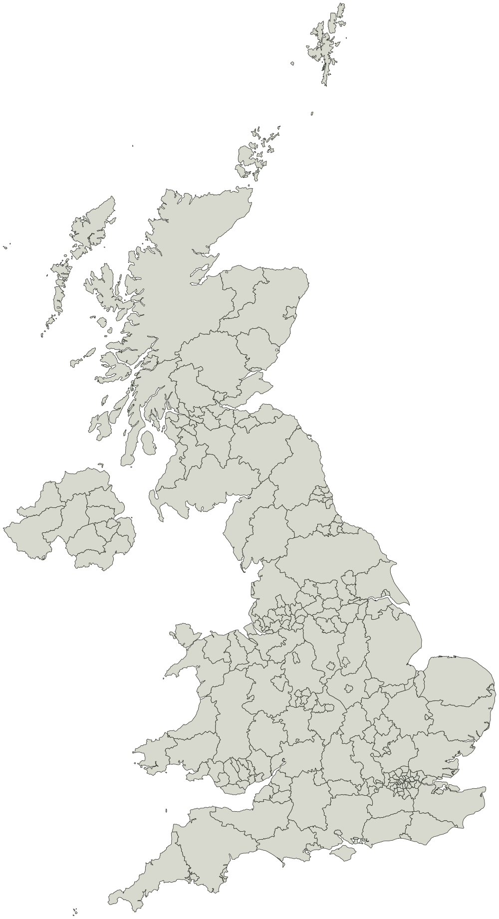
Boundaries from the Office for National Statistics. Contains OS data © Crown copyright and database right 2025. Reuse is allowed under the Open Government Licence v3.0 with source attribution.
HartlepoolMiddlesbroughRedcar and ClevelandStockton-on-TeesDarlingtonHaltonWarringtonBlackburn with DarwenBlackpoolKingston upon HullEast Riding of YorkshireNorth East LincolnshireNorth LincolnshireYorkDerbyLeicesterRutlandNottinghamHerefordshireTelford and WrekinStoke-on-TrentBath and North East SomersetBristolNorth SomersetSouth GloucestershirePlymouthTorbaySwindonPeterboroughLutonSouthend-on-SeaThurrockMedwayBracknell ForestWest BerkshireReadingSloughWindsor and MaidenheadWokinghamMilton KeynesBrighton and HovePortsmouthSouthamptonIsle of WightCounty DurhamCheshire EastCheshire West and ChesterShropshireCornwallIsles of ScillyWiltshireBedfordCentral BedfordshireNorthumberlandBournemouth, Christchurch and PooleDorsetBuckinghamshireNorth NorthamptonshireWest NorthamptonshireCumberlandWestmorland and FurnessNorth YorkshireSomersetBoltonBuryManchesterOldhamRochdaleSalfordStockportTamesideTraffordWiganKnowsleyLiverpoolSt. HelensSeftonWirralDoncasterRotherhamNewcastle upon TyneNorth TynesideSouth TynesideSunderlandBirminghamCoventryDudleySandwellSolihullWalsallWolverhamptonBradfordCalderdaleKirkleesLeedsWakefieldGatesheadBarnsleySheffieldCity of LondonBarking and DagenhamBarnetBexleyBrentBromleyCamdenCroydonEalingEnfieldGreenwichHackneyHammersmith and FulhamHaringeyHarrowHaveringHillingdonHounslowIslingtonKensington and ChelseaKingston upon ThamesLambethLewishamMertonNewhamRedbridgeRichmond upon ThamesSouthwarkSuttonTower HamletsWaltham ForestWandsworthWestminsterCambridgeshireDerbyshireDevonEast SussexEssexGloucestershireHampshireHertfordshireKentLancashireLeicestershireLincolnshireNorfolkNottinghamshireOxfordshireStaffordshireSuffolkSurreyWarwickshireWest SussexWorcestershireAntrim and NewtownabbeyArmagh City, Banbridge and CraigavonBelfastCauseway Coast and GlensDerry City and StrabaneFermanagh and OmaghLisburn and CastlereaghMid and East AntrimMid UlsterNewry, Mourne and DownArds and North DownClackmannanshireDumfries and GallowayEast AyrshireEast LothianEast RenfrewshireNa h-Eileanan SiarFalkirkHighlandInverclydeMidlothianMorayNorth AyrshireOrkney IslandsScottish BordersShetland IslandsSouth AyrshireSouth LanarkshireStirlingAberdeen CityAberdeenshireArgyll and ButeCity of EdinburghRenfrewshireWest DunbartonshireWest LothianAngusDundee CityEast DunbartonshireFifePerth and KinrossGlasgow CityNorth LanarkshireIsle of AngleseyGwyneddConwyDenbighshireFlintshireWrexhamCeredigionPembrokeshireCarmarthenshireSwanseaNeath Port TalbotBridgendVale of GlamorganCardiffRhondda Cynon TafCaerphillyBlaenau GwentTorfaenMonmouthshireNewportPowysMerthyr Tydfil

What you are printing

A conic projection centered on UK counties, so the counties and unitary authorities keep their shapes instead of leaning the way they do on a world map.

Every county or unitary authority is a separate shape, so a vector editor can select and fill one without touching the ones around it. Names are in the file as titles rather than as drawn text, which is what keeps the printed sheet blank.

Every county or unitary authority on it

The map page lists all 218 counties and unitary authorities by name, and colors them in the browser if you would rather not print anything.