Blank map of Chicago

All 77 community areas, unlabeled and unfilled. The SVG prints at any size without going fuzzy and opens in any editor. It comes out taller than it is wide, so it prints upright.
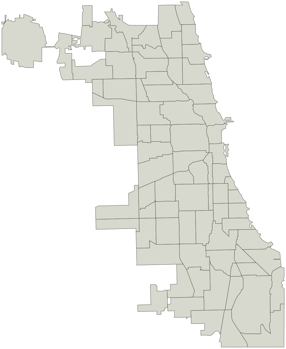
Community area boundaries from the City of Chicago, via the Chicago Data Portal. Credit the City of Chicago if you reuse the outline.
Rogers ParkNorwood ParkJefferson ParkForest GlenNorth ParkAlbany ParkPortage ParkIrving ParkDunningMontclareBelmont CraginWest RidgeHermosaAvondaleLogan SquareHumboldt ParkWest TownAustinWest Garfield ParkEast Garfield ParkNear West SideNorth LawndaleUptownSouth LawndaleLower West SideLoopNear South SideArmour SquareDouglasOaklandFuller ParkGrand BoulevardKenwoodLincoln SquareWashington ParkHyde ParkWoodlawnSouth ShoreChathamAvalon ParkSouth ChicagoBurnsideCalumet HeightsRoselandNorth CenterPullmanSouth DeeringEast SideWest PullmanRiverdaleHegewischGarfield RidgeArcher HeightsBrighton ParkMcKinley ParkLake ViewBridgeportNew CityWest ElsdonGage ParkClearingWest LawnChicago LawnWest EnglewoodEnglewoodGreater Grand CrossingLincoln ParkAshburnAuburn GreshamBeverlyWashington HeightsMount GreenwoodMorgan ParkO'HareEdgewaterNear North SideEdison Park

What you are printing

A conic projection centered on Chicago, so the neighborhoods keep their shapes instead of leaning the way they do on a world map.

Every neighborhood is a separate shape, so a vector editor can select and fill one without touching the ones around it. Names are in the file as titles rather than as drawn text, which is what keeps the printed sheet blank.

Every neighborhood on it

The map page lists all 77 community areas by name, and colors them in the browser if you would rather not print anything.