Indian Ocean Territories on the world map
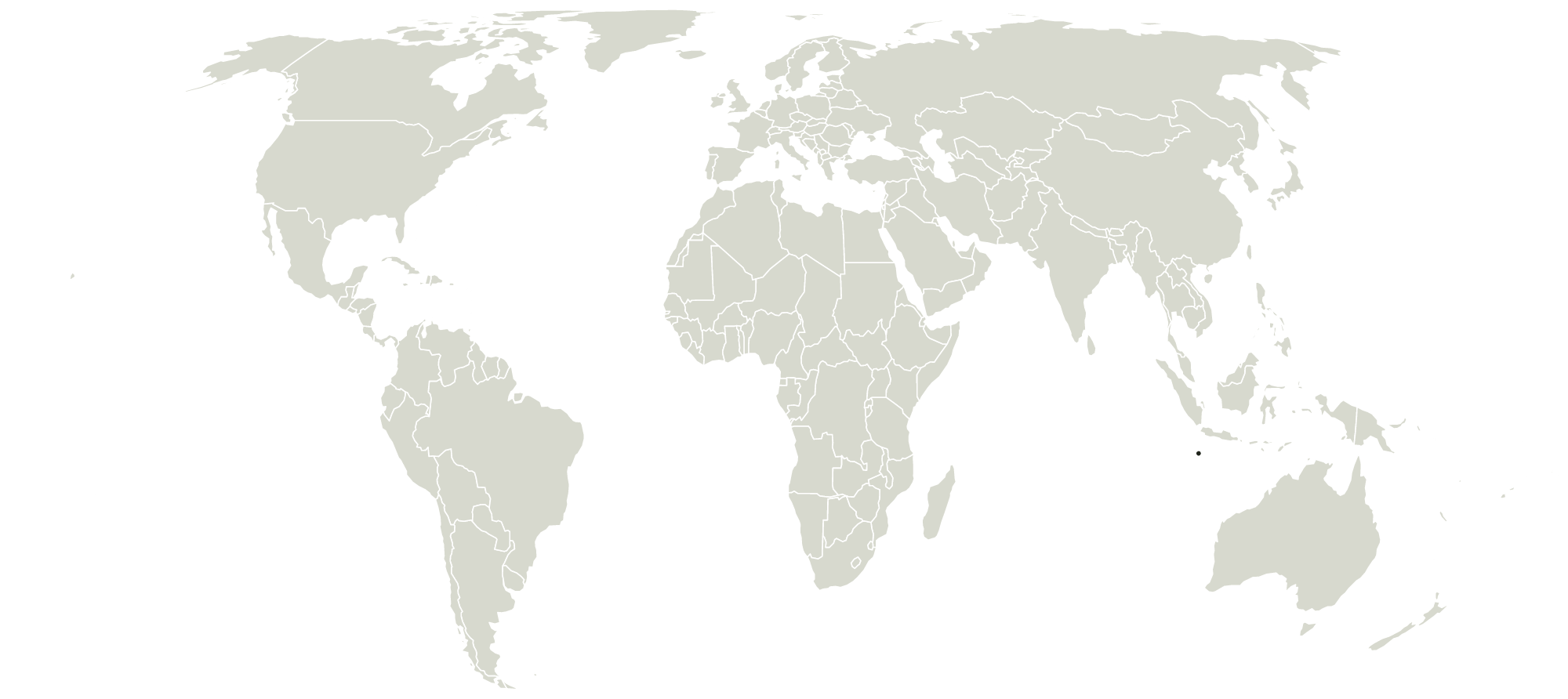
Where is Indian Ocean Territories?
Indian Ocean Territories is in Asia, south of the equator. The middle of its shape falls near 11° S, 106° E.
What borders Indian Ocean Territories?
Indian Ocean Territories has no land borders.
How big is Indian Ocean Territories?
Indian Ocean Territories is the 207th largest of the 233 countries this map draws.
Other countries in Asia
- Afghanistan
- Armenia
- Azerbaijan
- Bahrain
- Bangladesh
- Bhutan
- Brunei
- Cambodia
- China
- Cyprus
- Georgia
- Hong Kong
- India
- Indonesia
- Iran
- Iraq
- Israel
- Japan
- Jordan
- Kazakhstan
- Kuwait
- Kyrgyzstan
- Laos
- Lebanon
- Macao
- Malaysia
- Mongolia
- Myanmar
- Nepal
- North Korea
- Northern Cyprus
- Oman
- Pakistan
- Palestine
- Philippines
- Qatar
- Saudi Arabia
- Siachen Glacier
- Singapore
- South Korea
- Sri Lanka
- Syria
- Taiwan
- Tajikistan
- Thailand
- Timor-Leste
- Turkey
- Turkmenistan
- United Arab Emirates
- Uzbekistan
- Vietnam
- Yemen
Maps that draw Indian Ocean Territories
Been to Indian Ocean Territories? Mark it on your map of the countries you've been to.