Antigua and Barbuda on the world map
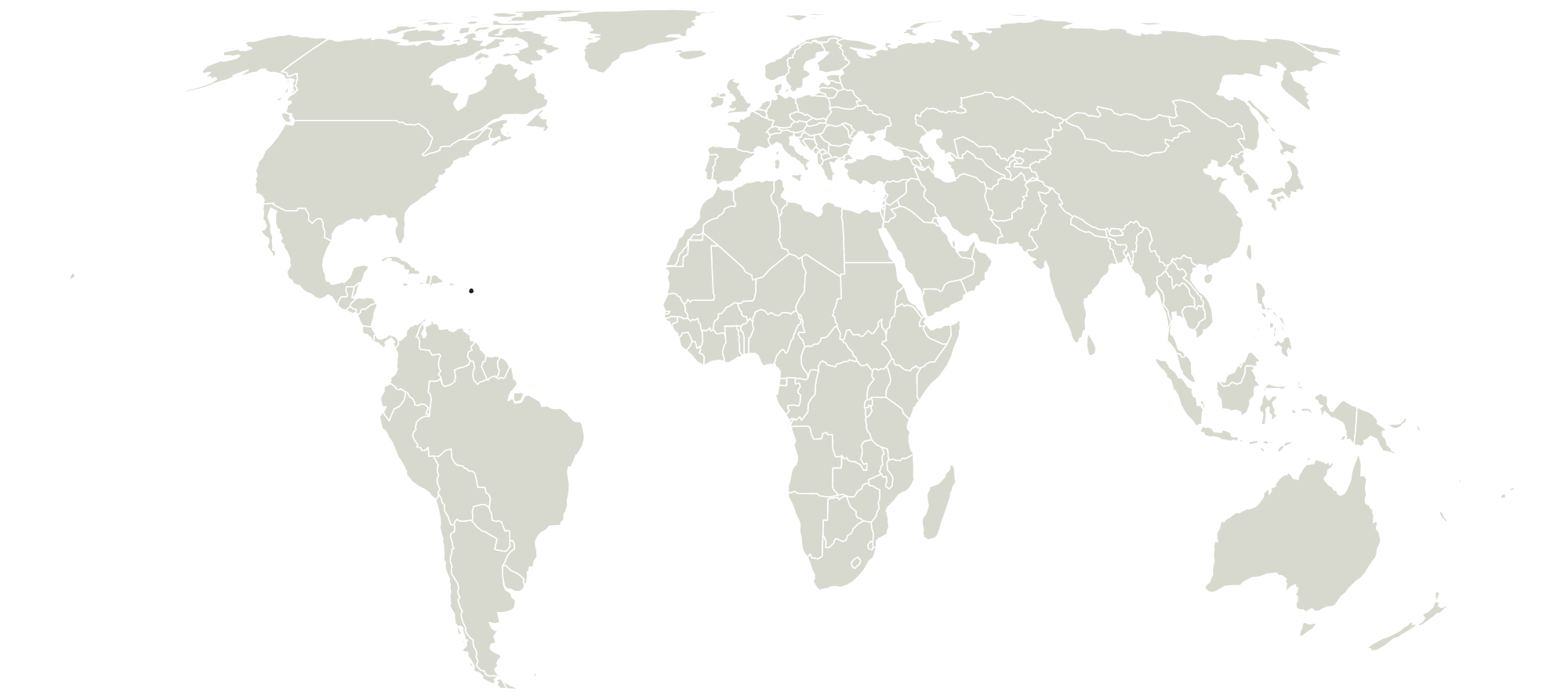
Where is Antigua and Barbuda?
Antigua and Barbuda is in North America, north of the equator. The middle of its shape falls near 17° N, 62° W.
What borders Antigua and Barbuda?
Antigua and Barbuda has no land borders.
How big is Antigua and Barbuda?
Antigua and Barbuda is the 203rd largest of the 233 countries this map draws.
Other countries in North America
- Anguilla
- Aruba
- Bahamas
- Barbados
- Belize
- Bermuda
- British Virgin Islands
- Canada
- Cayman Islands
- Costa Rica
- Cuba
- Curaçao
- Dominica
- Dominican Republic
- El Salvador
- Greenland
- Grenada
- Guatemala
- Haiti
- Honduras
- Jamaica
- Mexico
- Montserrat
- Nicaragua
- Panama
- Puerto Rico
- Saint Kitts and Nevis
- Saint Lucia
- Saint Pierre and Miquelon
- Saint Vincent and the Grenadines
- Sint Maarten
- St-Barthélemy
- St-Martin
- Trinidad and Tobago
- Turks and Caicos Islands
- United States
- US Virgin Islands
Maps that draw Antigua and Barbuda
Been to Antigua and Barbuda? Mark it on your map of the countries you've been to.