Blank electoral college map
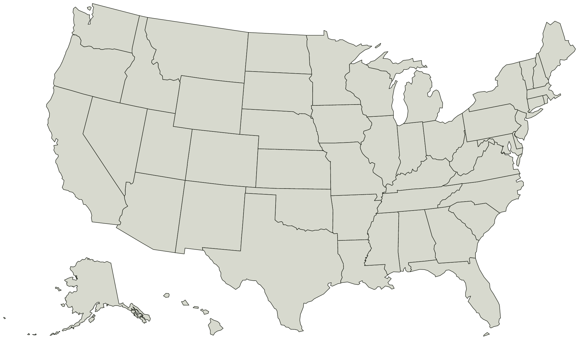
All 50 states + DC, unlabeled and unfilled. Download the SVG for editing or printing at any size. PNG and JPEG downloads are 2,000 pixels wide. The map comes out wider than it is tall, so it prints sideways.
What you are printing
Alaska and Hawaii are moved in below the mainland to fit on one sheet, and Alaska is drawn at about a third of its real size. Everywhere else on this map sits where it is.
Every state is a separate shape, so a vector editor can select and fill one without touching the ones around it. Names are in the file as titles rather than as drawn text, which is what keeps the printed sheet blank.
Every state on it
The names are in the file as titles, not as drawn text, so the printed sheet stays blank and this is the list to print beside it. The United States Electoral College map colors them in the browser if you would rather not print anything.
Mid-Atlantic 3
- New Jersey
- New York
- Pennsylvania
Midwest 12
- Iowa
- Illinois
- Indiana
- Kansas
- Michigan
- Minnesota
- Missouri
- North Dakota
- Nebraska
- Ohio
- South Dakota
- Wisconsin
Mountain West 8
- Arizona
- Colorado
- Idaho
- Montana
- New Mexico
- Nevada
- Utah
- Wyoming
New England 6
- Connecticut
- Massachusetts
- Maine
- New Hampshire
- Rhode Island
- Vermont
Pacific 5
- Alaska
- California
- Hawaii
- Oregon
- Washington
South 17
- Alabama
- Arkansas
- District of Columbia
- Delaware
- Florida
- Georgia
- Kentucky
- Louisiana
- Maryland
- Mississippi
- North Carolina
- Oklahoma
- South Carolina
- Tennessee
- Texas
- Virginia
- West Virginia
Electoral votes by state
538 electoral votes in all, so 270 wins. This is the apportionment from the 2020 census, in force for the 2024 and 2028 elections. Maine and Nebraska award two of theirs statewide and the rest by congressional district. Color the 2028 map and count it as you go.
- Alaska3
- Alabama9
- Arkansas6
- Arizona11
- California54
- Colorado10
- Connecticut7
- District of Columbia3
- Delaware3
- Florida30
- Georgia16
- Hawaii4
- Iowa6
- Idaho4
- Illinois19
- Indiana11
- Kansas6
- Kentucky8
- Louisiana8
- Massachusetts11
- Maryland10
- Maine4
- Michigan15
- Minnesota10
- Missouri10
- Mississippi6
- Montana4
- North Carolina16
- North Dakota3
- Nebraska5
- New Hampshire4
- New Jersey14
- New Mexico5
- Nevada6
- New York28
- Ohio17
- Oklahoma7
- Oregon8
- Pennsylvania19
- Rhode Island4
- South Carolina9
- South Dakota3
- Tennessee11
- Texas40
- Utah6
- Virginia13
- Vermont3
- Washington12
- Wisconsin10
- West Virginia4
- Wyoming3